
VHF ACTIVE PHASED ARRAY RADAR
- The advent of Stratosphere-Troposphere (ST) Radars in the last few decades has added a new dimension to scientific research and applications in atmospheric sciences.
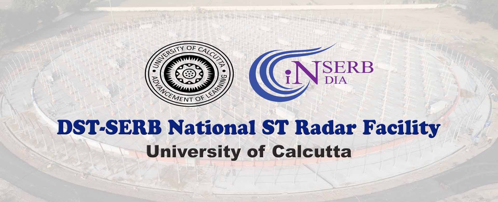
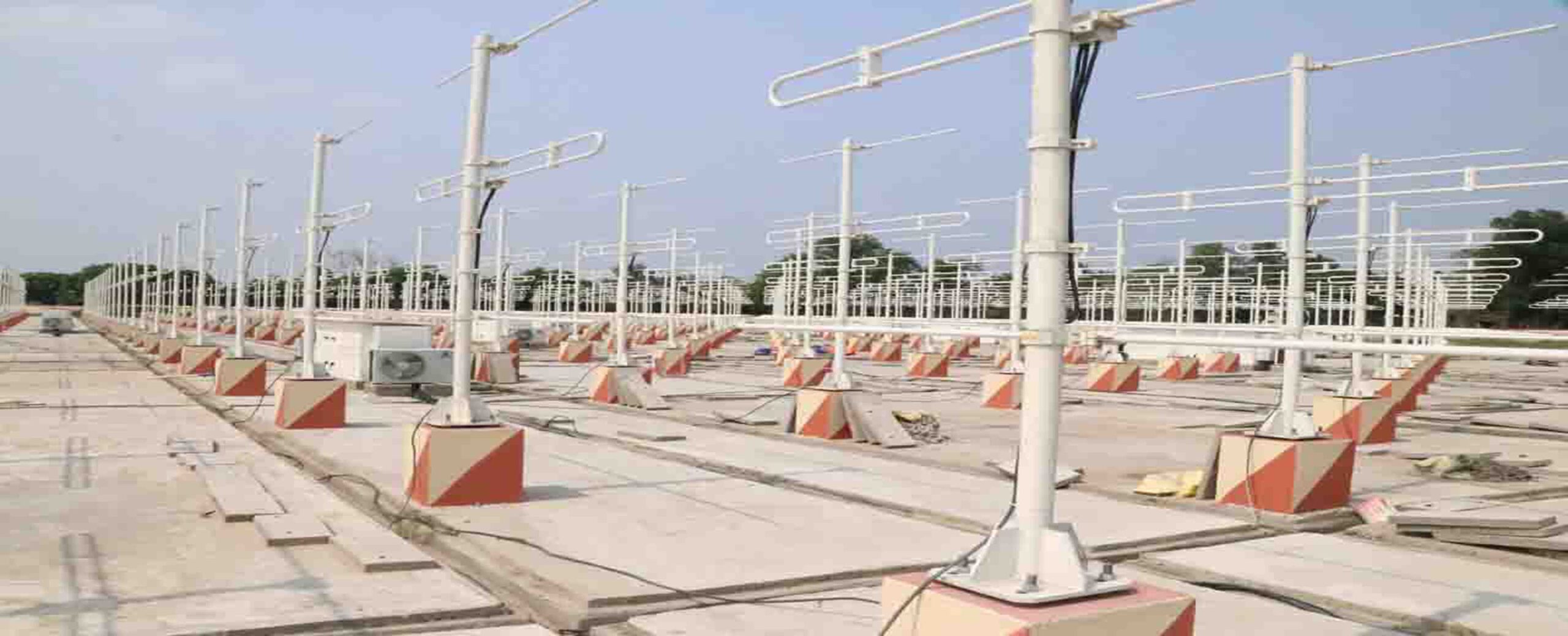
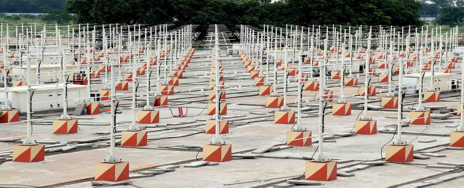
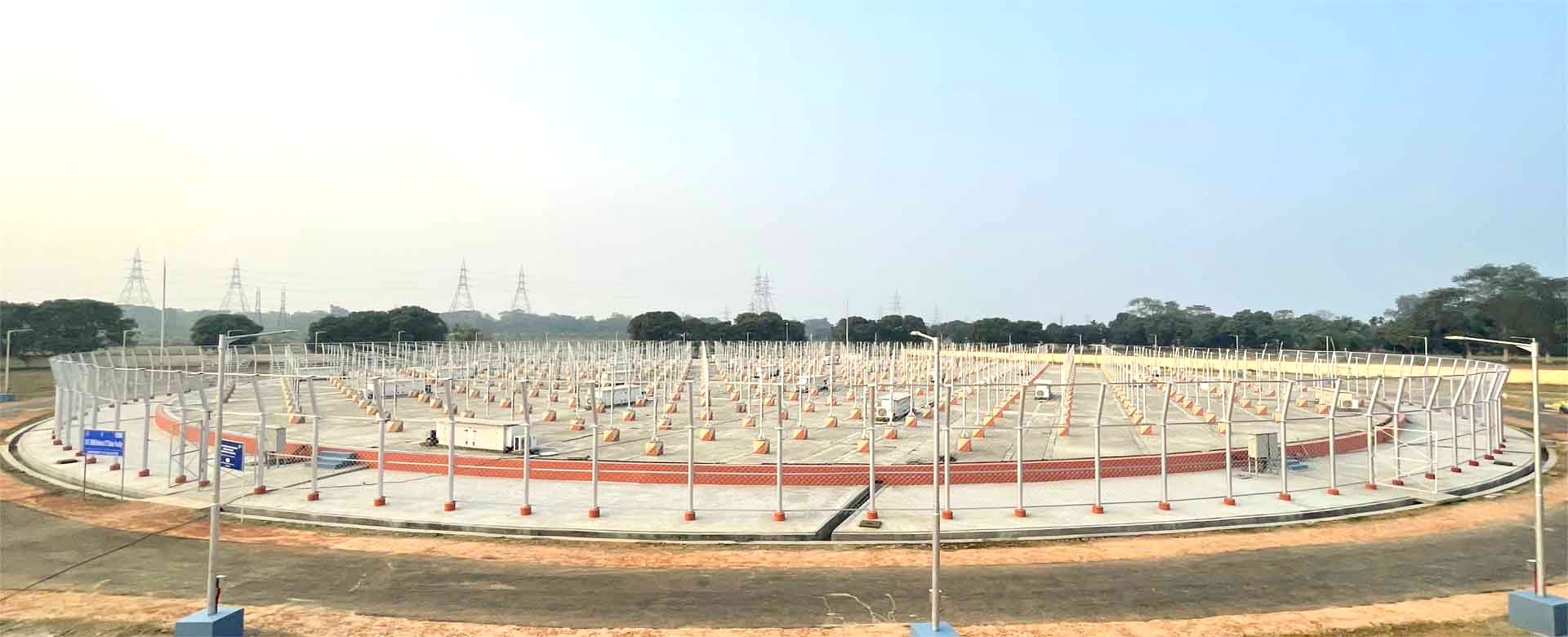
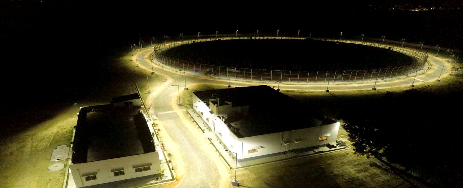
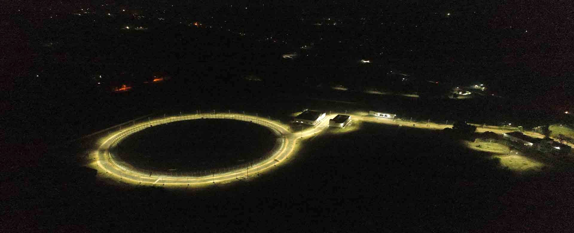
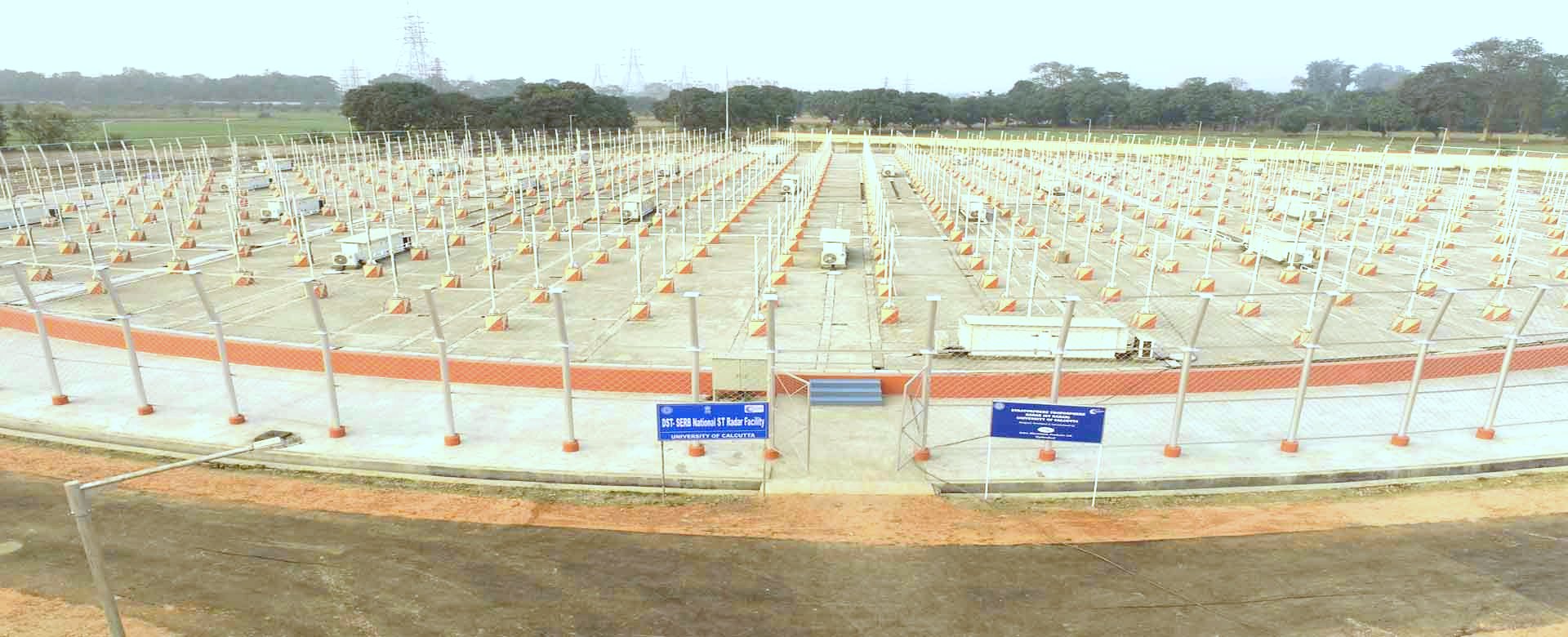
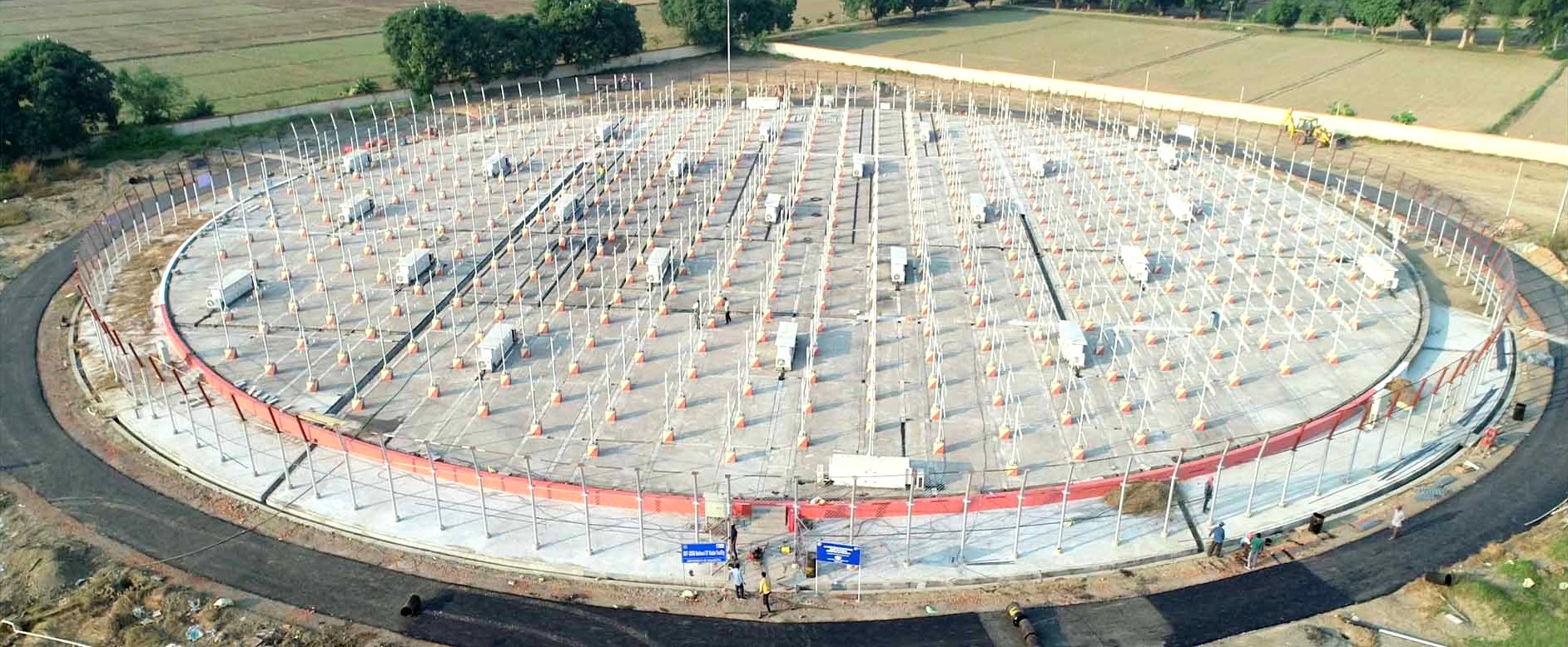
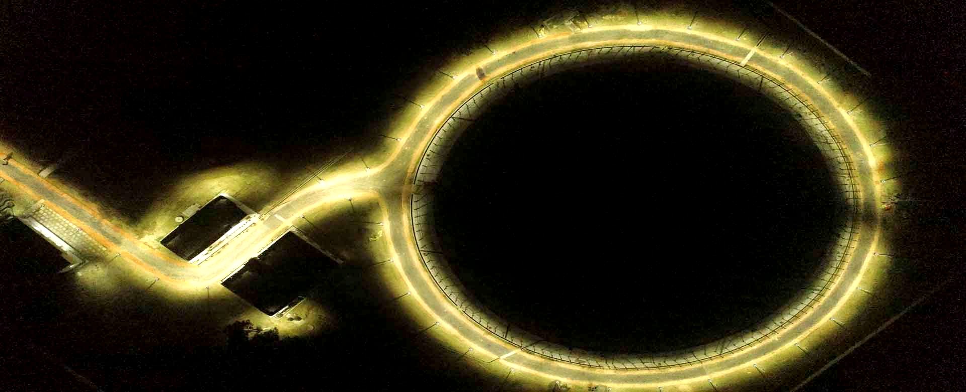
University of Calcutta is implementing a 53 MHz fully active phased array radar at Ionosphere Field Station, Haringhata of University of Calcutta
The radar site at Haringhata is located ~50 km north-east of Kolkata, a major city in the eastern part of India, on the eastern bank of Hooghly river.
Notably, it is right on the Tropic of Cancer and just beneath the Equatorial Ionization Anomaly (EIA).
The region around Kolkata is unique in its tropical climatology with yearly total rainfall of ~1600 mm and experience ‘very high damage risk’ owing to Kalbaisakhi (Nor’wester) and tropical cyclones.
This region is also known for deep convection, thunderstorm and lightning activity. While being part of the Indo-Gangetic Plain (IGP), the phenomenology of this part of IGP is quite different from the rest owing to the atmospheric processes governed by Bay-of-Bengal.
Moreover, the region is characterized as ‘wetland’ and has been recognized as a ‘wetland of international importance’ under ‘Ramsar Convention’.
It also hosts the largest sewage fed aquaculture in the world and serves as a robust carbon sink. All these make Haringhata an important location to study atmospheric dynamics and coupling processes up to the ionosphere over a tropical location.
All these make Haringhata an important location to study atmospheric dynamics and coupling processes up to the ionosphere over a tropical location.
This radar is indigenously developed, state-of-the-art 53 MHz VHF fully-active phased-array Radar and is being established with support from Science and Engineering Research Board, DST, Government of India under its scheme ̶ Intensification of Research in High Priority Area (IRHPA).It is conceived as a National Facility, open to all academicians and researchers across the country, and those in the eastern and northeast India, in particular.
Using this ST Radar as a central facility at University of Calcutta, emphasis will be given to the following:
- Core research activities (scientific and technical) using the radar alone
- Research activities, academic and research collaborations linking other institutions and experimental facilities with broader science goal
- Develop an ecosystem where faculties and researchers from different allied subjects could converge and conduct research and training
- Provision will be made for inviting national and international-level experts as Adjunct Faculties for conducting research using this radar
- Facilities will be provided for students from other institutions to undertake summer internships and student projects using this facility
- Cooperative research at both national and international level, like coordinated observations with National Atmospheric Research Laboratory (NARL), Cochin University of Science and Technology (CUSAT), Gauhati University etc. and participation in international programs like VarSITI and the upcoming PreSTo of the Scientific Committee on Solar-Terrestrial Physics (SCOSTEP)
- Training students and researchers and capability building
In recent years, the study on the inter-relations between different phases of water namely, water vapour, cloud liquid water content and rain has been a subject of interest in view of long term variation of Indian summer monsoon. Also, the study on the convective system in relation to the tropical weather and climate system has been in the focus in the present activities.
The study on the precipitating atmosphere has been made with a number of ground-based measurements carried out at IRPE and also with the data from TRMM satellite. The tropopause structure over the Indian region was identified using the temperature profile obtained with the CHAMP data and tropopause height and temperature were sensed on the basis of cold point tropopause.
The high resolution data from ST Radar is expected to provide significant information about the highly dynamic stratosphere-troposphere exchange processes and the main drivers and their relative roles in generation of atmospheric gravity waves. These waves could affect development of regional weather systems. A detailed study may give some interesting clue to understand the large scale spatio-temporal variability of weather systems, effect of global changes on climate, formation and development of cyclones and depressions over Bay of Bengal, etc.
The information available in the troposphere and lower stratosphere can be assimilated in the General Circulation Models (GCM) for the improvement of prediction of tropical weather systems, especially over our country.
Regional scale forecasting can also be improved by using the high quality ST Radar data up to the lower stratosphere, which will be useful for agriculture and fisheries sector.
Wind data obtained from ST Radar can also be utilized to verify the quality of NCEP/ECMWF gridded data and their reliability in the tropical belts. This will be useful for modifying/improving the input data in atmospheric mode.
Scientific Experiments which may be planned using the CU ST Radar:
- To study the dynamics of the tropopause and Stratosphere Troposphere Exchange (STE)
- To study the convection process in the troposphere
- To characterize rain structure based on radar signatures of precipitating layers
- To study lower atmospheric turbulence
- To study gravity waves and planetary scale waves and their effects on the upper atmosphere
- D, E and F region irregularities/sporadic E /150km echoes
- Study the Tidal Cycles
- Sky temperature map obtained from the observations of ST radar
- Vertical Coupling From the Lower Atmosphere to the Ionosphere
- Moon Echo
- Meteor trail/Head Echo/Meteor Shower Observation